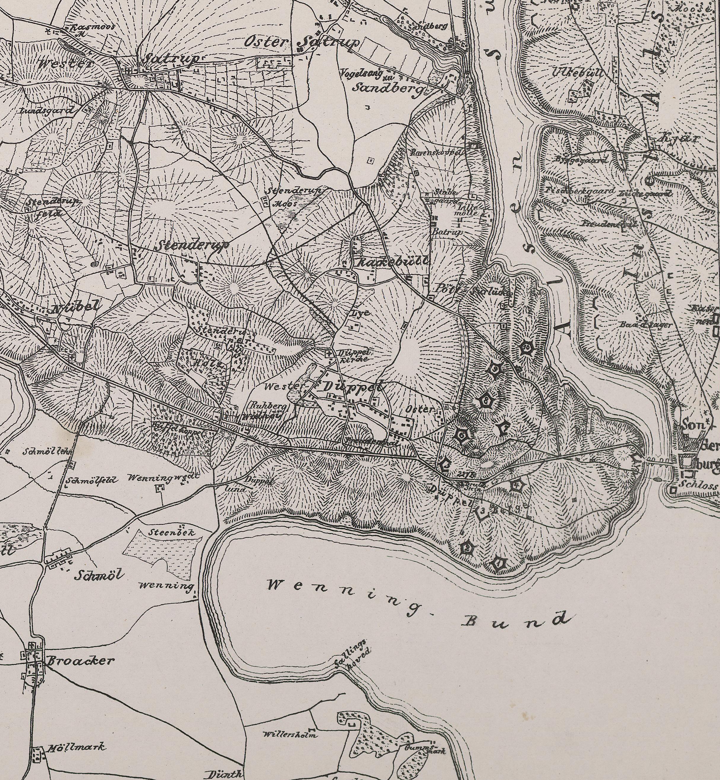
Found an old map, marking out 'defences'

at Sonderborg -

- K5449_0001-sonderborg.jpg (6.34 MiB) Viewed 20612 times
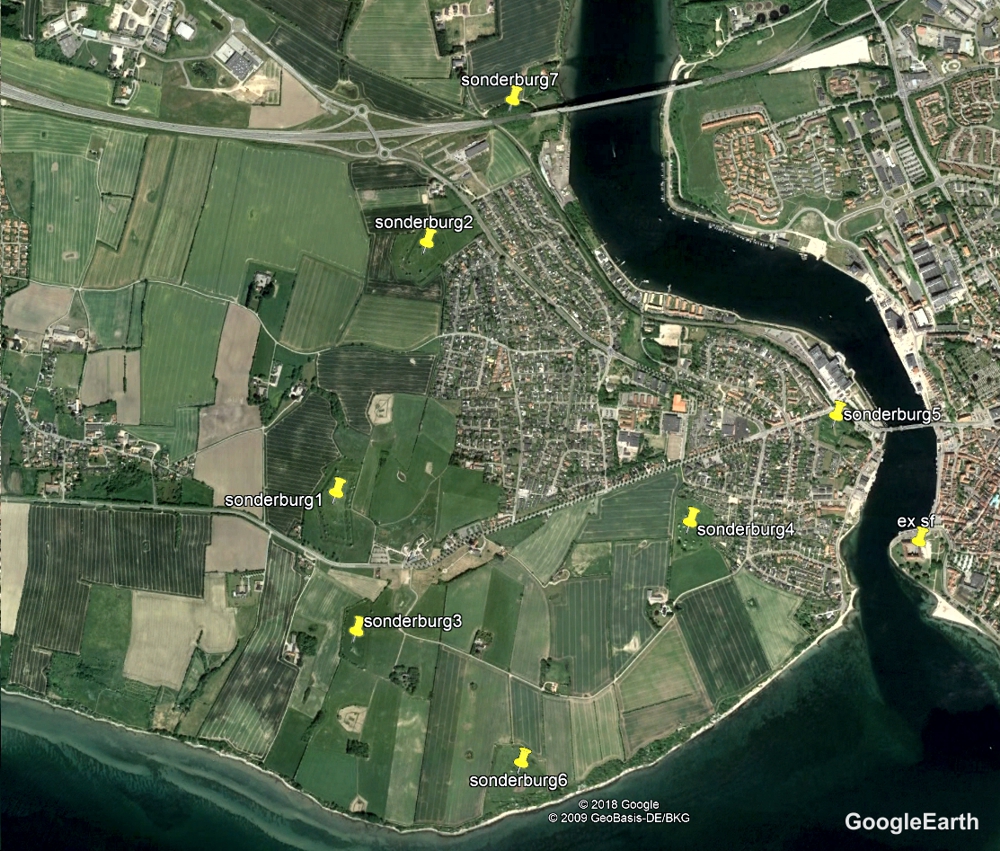
and hey presto, found a few new sats and oggs -
54°54'29.88" N 9°45'00.11" E

- sonderborgGE.jpg (807.6 KiB) Viewed 20612 times
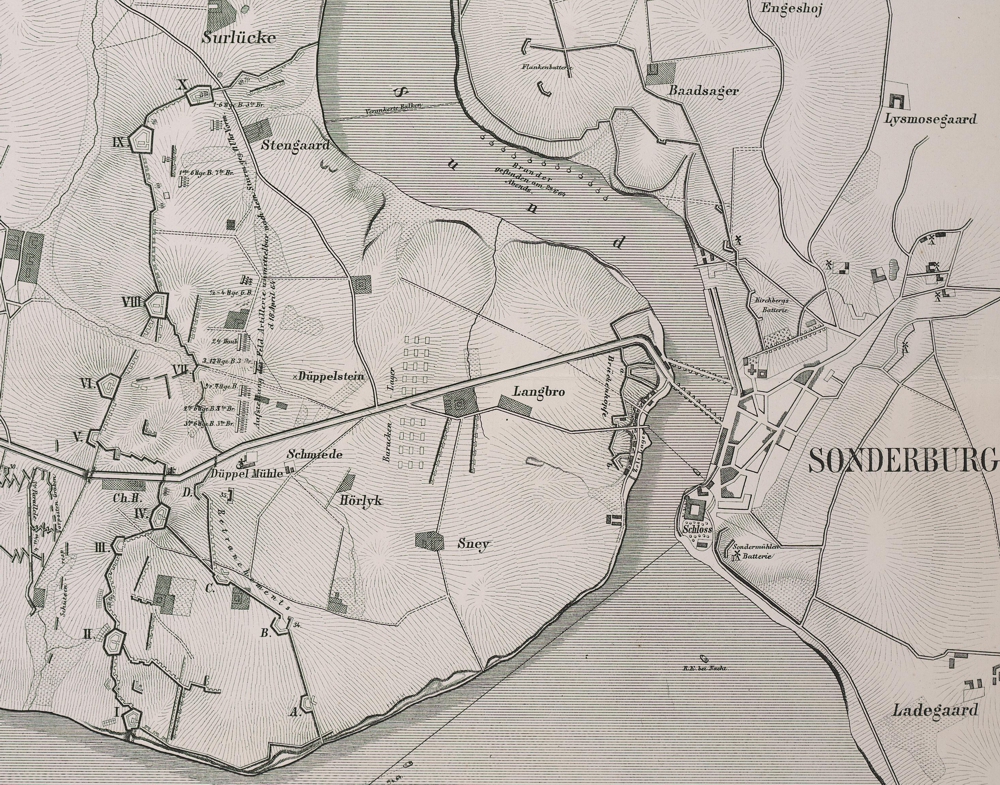
and probbaly connected by boundary canals or walls -

- K5451_0001.jpg (825.79 KiB) Viewed 20610 times